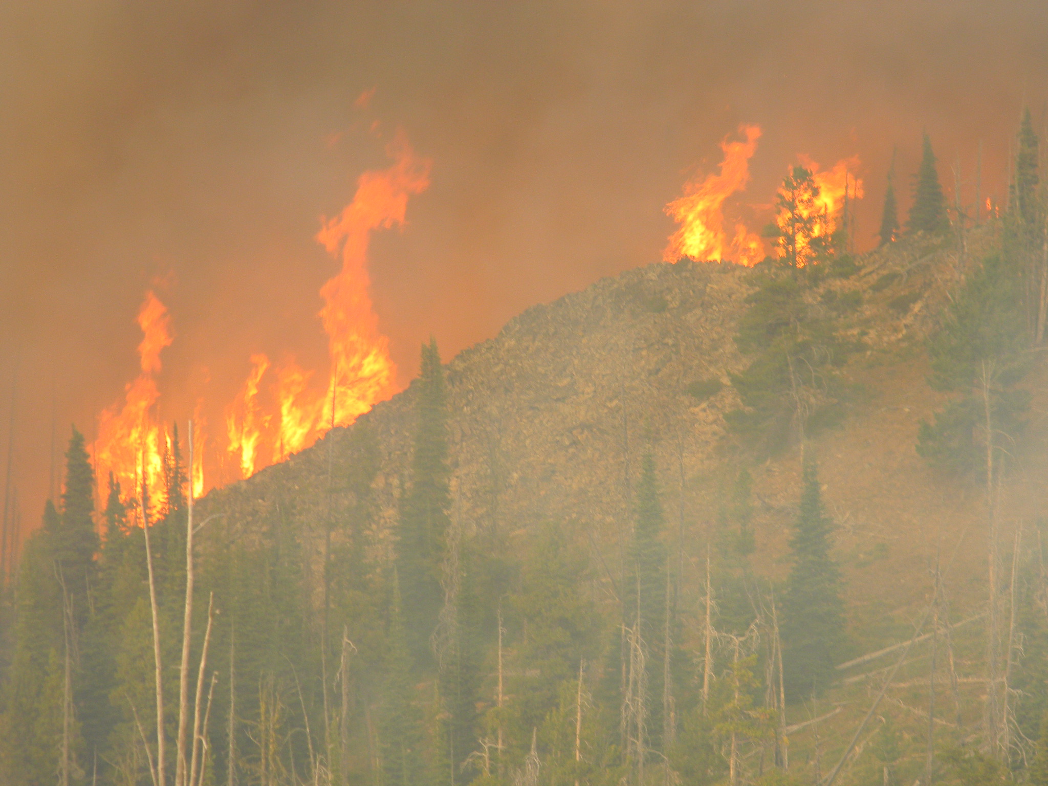
DISARM will develop and operate an observatory and early warning system for fires and drought which will cover the areas of the 3 participating countries. The project is divided in 5 Working Packages (WPs).
Work Packages
WP1
Includes all management actions required by the project: organize, monitor and act upon all WPs activities, ensure the overall integrity of WPs and collaboration among partners (both during and after the project), report on the progress of the work, check and review all deliverables, organize regular meetings, and carry out financial administration of the project. The LP will lead WP1. All partners will contribute, providing input/feedback on the realization of the project. This WP will be active during the whole project duration.
WP2
Includes dissemination actions that target promotion of the publicity of the project and increasing public awareness with respect to project’s results. Specific tasks that will be conducted include: organization of at least 1 training workshop per country with the participation of public and/or private authorities, organization of public inclusion events (at least 1 per participating country), press releases, dissemination of promotional material, development of the project website (desktop/mobile version), participation in national/international conferences (oral/poster presentations), and submission of publications to international peer-review scientific journals. All partners (LP, P2, P3, P4 and P5) will contribute while P4 will coordinate. This WP will start on month 1 and last up to its end.
WP3
Includes all actions related to the design, development and integration of the observatory and early warning system, as well as acquirement of all necessary software/hardware and other scientific equipment. The key tasks that will be conducted include:
(a) development of the algorithms to estimate fire/drought vulnerability indices, applicable to both short-term and long-term (monthly) time scales,
(b) definition of the land cover and available biomass based on satellite imagery,
(c) preparatory actions to make fire spread simulations, and
(d) fire detection and monitoring based on novel remote sensing techniques.
The fire risk will be assessed for short-term, mid-term and long-term periods. All estimations will be based on the Fire Weather Index (FWI). Short-term estimations will extract the necessary information from satellite imagery; the mid-term estimations will use model and observed data, while the long-term estimations will utilize seasonal predictions of the required input parameters. The drought vulnerability will be assessed on a monthly basis using hydrological drought indices. Input data will be provided by rain gauges and model estimated monthly parameters. A qualitative validation of the system’s products will be performed to ensure the efficient estimation of the fire and drought vulnerability, the timely identification of new fires and the fire spread simulations. P2 will lead this WP. All project partners will contribute, at different stages: P2 will develop the algorithms for estimating fire/drought vulnerability indices, based on both numerical model and satellite imagery data; P5 will implement the monthly forecasts; P3 and P5 will develop algorithms to implement the defined indices in an operational weather forecasting system covering the entire geographic area of interest, and provide long-term estimations for drought conditions; LP, P2 and P4 will be responsible for all tasks related to the exploitation of remote sensing techniques; LP will be responsible for designing, developing and implementing the rapid-response fire spread forecasting system. WP3 is the scientific core of the project and will start on month 1.
WP4
Includes the estimation of drought/fire risk over the study area for the following 50 years based on available regional climate simulations, as well as acquirement of software/hardware and other scientific equipment.
LP P3, P4 and P5 will be responsible for WP4, collecting and processing data, while P3 will lead it, contributing also through additional analysis of climate simulations. This WP will start on month 1 and last up to the end of the project.
WP5
Includes the realization of the observatory and early warning system.
A desktop and mobile application will be developed. This application (available in all languages of the partners) will include information for the current state and forecasts of fire/drought vulnerability, high-resolution fire spread simulations in cases of significant fire events, estimations of drought/fire vulnerability for the future, and predefined choices for which users to upload in situ information about the accumulation of dead biomass and observed fires. Further, the existing network of meteorological stations will be expanded and/or upgraded. This WP will begin on month 3. LP will lead, while all partners will contribute to its everyday operation during the project period and beyond.
